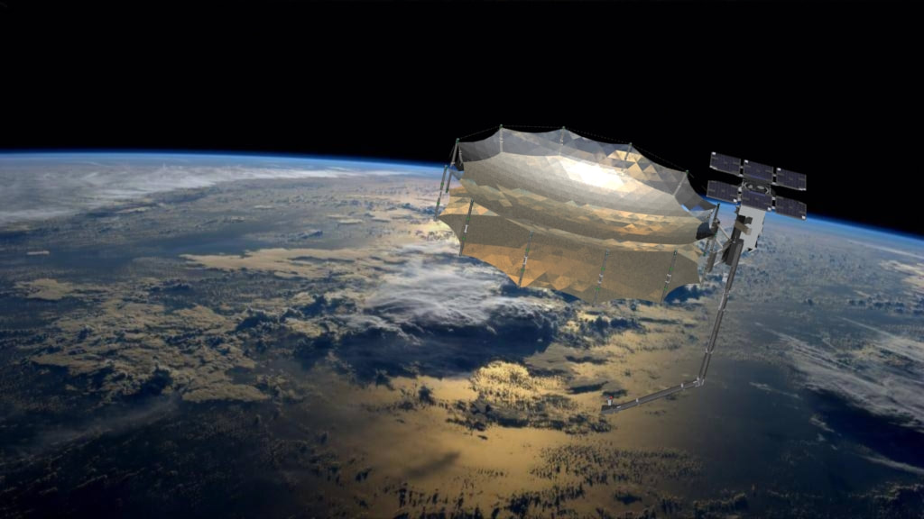
 Synthetic Aperture Radar (SAR) In the realm of remote sensing, one technology stands out for its remarkable capabilities in capturing high-resolution images of Earth's surface, regardless of weather conditions or daylight limitations. Synthetic Aperture Radar (SAR) has revolutionized the way we perceive and understand our planet from above. By utilizing advanced techniques and sophisticated processing, SAR provides invaluable insights for a wide range of applications, from mapping and environmental monitoring to disaster management and defense. Let's delve into the steps of the SAR process, explore its techniques, and uncover its myriad applications.
The Synthetic Aperture Radar process involves several key steps that transform raw radar data into detailed images. The first step is data acquisition, where an airborne or spaceborne platform emits electromagnetic pulses towards the Earth's surface and records the backscattered signals. These signals contain information about the properties of the surface, such as terrain topography, vegetation coverage, and man-made structures. Once the data is acquired, the next step is preprocessing, which includes calibration, geometric correction, and speckle filtering. Calibration ensures that the radar measurements are accurately transformed into meaningful information, while geometric correction corrects any distortions caused by platform motion or Earth curvature. Speckle filtering aims to reduce the inherent noise in SAR images, caused by the interference of radar waves. Following preprocessing, the data undergoes a complex process called SAR image formation. This involves focusing the radar signals to create a high-resolution image. Synthetic Aperture Radar (SAR) achieves this by utilizing the principle of synthetic aperture, which effectively increases the size of the antenna beyond its physical limitations. By integrating signals gathered from multiple locations along the flight path, SAR achieves a virtual antenna with a longer aperture, resulting in improved spatial resolution. SAR employs various imaging techniques to extract valuable information from the acquired data. One such technique is amplitude imaging, which uses the magnitude of the radar backscatter to discern differences in surface composition and structure. Another technique, known as interferometric Synthetic Aperture Radar (InSAR), exploits the phase difference between two radar acquisitions to measure minute deformations in the Earth's surface. InSAR is particularly useful for monitoring land subsidence, volcanic activity, and even tectonic movements. The versatility of SAR has led to its widespread application in numerous fields. In the domain of mapping and cartography, SAR provides highly accurate elevation models and 3D reconstructions of terrain, essential for urban planning, infrastructure development, and environmental studies. SAR's ability to penetrate clouds and operate day and night makes it an invaluable tool for monitoring forest cover, detecting deforestation, and assessing changes in land use. Synthetic Aperture Radar (SAR) also plays a vital role in disaster management and emergency response. During natural disasters such as earthquakes, hurricanes, or floods, SAR can swiftly gather crucial information about the affected areas, including damage assessment, search and rescue planning, and flood extent mapping. Moreover, SAR's all-weather capabilities make it indispensable for maritime surveillance, border control, and defense applications, enabling the detection of ships, submarines, and illegal activities even in adverse weather conditions. In recent years, SAR data has become increasingly accessible to researchers, scientists, and the public. Various space agencies, such as NASA, ESA, and national organizations, provide open-access SAR datasets, allowing for widespread exploration and analysis. This accessibility has spurred innovation and the development of advanced SAR-based applications, such as land cover classification, crop monitoring, and even archaeological discoveries. In conclusion, Synthetic Aperture Radar (SAR) has emerged as a powerful remote sensing technology, revolutionizing our understanding of Earth's surface. Through a series of processing steps, SAR transforms raw radar data into high-resolution images, unveiling intricate details about the environment. With its diverse imaging techniques and broad applications, SAR enables accurate mapping, environmental monitoring, disaster management, and defense. As SAR data continues to become more accessible, its potential for innovation and discovery is boundless, promising a future of unparalleled insights into our planet.
0 Comments
Leave a Reply. |
 RSS Feed
